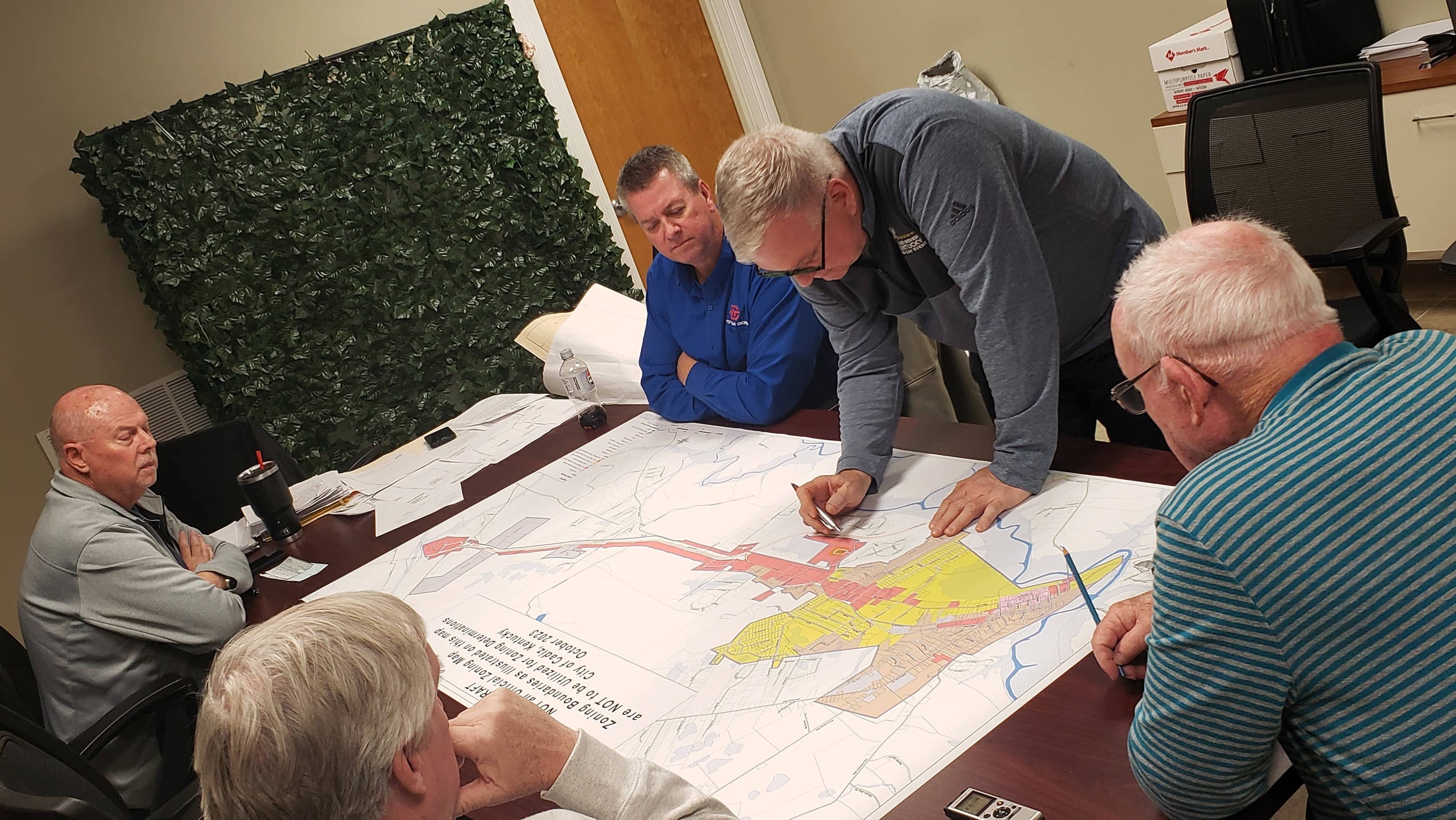
The Cadiz-Trigg County Planning Commission moved one step closer to a complete and accurate zoning map Tuesday night — after reviewing a preliminary map provided by officials from the Pennyrile Area Development District.
It’s an official document that, for a litany of reasons, hasn’t been updated since 1989 — and the old document doesn’t accurately reflect the changes Cadiz has experienced in the last three decades.
This has been an arduous and ongoing affair with the organization, as it continues to rectify years of inadequate information regarding zoning and land use determinations for the community.
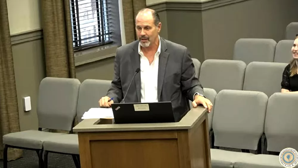
Todd Wallace, chairman, said there needed to be a considerable amount of research around Dove Circle and Osage Drive that would provide clarity as to their fit in the city, and their zoning.
Several other steps remain, however, before the document becomes permanent.
It is possible that a public hearing, sponsored by the CTCPC, would be necessary before the final details are presented back to PADD officials.
Among the things discovered over the last few months is that the relatively-new Cadiz RV Park is part of the city limits — but hasn’t officially been registered to the map — and that Wildcat Chevrolet’s main campus apparently doesn’t appear to be in the city limits at all.
That’s despite almost all of the US 68/80 corridor being involved.
Wallace also made it very clear that PADD officials are “less than pleased” that the Cadiz City Limits map has been outdated for three decades.