To have an idea of what is coming for our fall season, we need to look at where we are now. We are getting a taste of fall weather this last full week of August. But it will be short lived as we start really heating back up going into our last weekend in August. 
Temperatures will climb back into the upper 80’s and lower 90’s and humidity levels will rise once again. The heat index may hit the upper 90’s to around 100 by the end of the weekend. The rain chances go down as well. This pattern looks to hang around through at least Labor Day. Somewhere around the first week of September, a cold front will finally try to work into the region with rain and storms. The front will try to also bring in a little cooler air as well. Overall, the climate model trends are indicating another warm month in September with slightly above normal temperatures and a little on the dry side for our region.
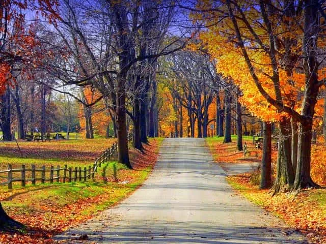
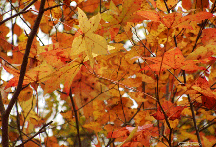 But, bear in mind, our average high temperatures for September starts out in the mid 80’s and is in the upper 70’s by the end of September. So we can be slightly above normal and still be fairly pleasant temperature wise. Remember, we are speaking averages here. The may be times when we get a little warmer or a little cooler. Unfortunately, this may delay the start of the fall colors a bit. Now let’s look at October, this is looking like a volatile month. Average highs start this month with mid 70’s and by the end of the month highs should average in the upper 60’s. But this will be a month of change. Overall temperatures should start out near normal. Rains should come more often as well. By sometime around mid-month maybe between the 15th to the 17th, I believe we could see an outbreak of severe weather. This will be followed by a fairly drastic drop in temperatures putting us below normal for highs. If what I am seeing is accurate, we will struggle to get out of the 50’s for high temperatures. If this happens, our fall colors should end up being pretty nice.
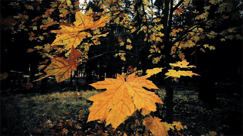 I do expect a wetter and stormier-than-normal October overall. Since rain and storms will be more common, I expect we will see more “yellows” this year. Usually when you have a fall with more sun than clouds, you will get more reds in the leaves. When you have more clouds than sun, you will get more yellows. So look for October to start off normal with a sudden change to much cooler by mid-month. The long term guess for Halloween on Wednesday, Oct 31st looks rainy with highs in the upper 60’s and lows in the upper 30’s. November picks up where October left off with big swings in temperature with our area averaging near to below normal. Rainfall looks above normal with the potential of above-average storminess if the trends hold. For November, our average highs start of in the mid 60’s but by the end of the month highs will average in the upper 40’s to lower 50’s. The trends for November will be a continuation of late October’s pattern with big swings in temperature in our area. Three or four days of rain will be followed by three or four days of sun. Overall, the month looks cooler than normal and I can see where we may see our first snowflakes around the 11th or 12th. Now having said all this, there are a couple of things to remember.
 An important factor to consider in the temperature forecast for this fall is El Niño. There is a 60 percent chance of El Niño developing this fall, according to the latest update from NOAA. The El Niño conditions that are expected to develop during the fall correlates with cooler temperatures developing across parts of the Midwest and Northeast in October and will include our region as well. The pattern change around mid-month in October is a result of that setup. The other thing with the El Nino is the position it is setting up. This would result in a dip in the jet stream over the eastern half of the country bringing in colder air invasions as we progress into winter. The storm track should lie just south of Kentucky. This means very interesting things for our coming winter. More on that when I come out with the Winter Outlook in late October. Snow lovers will like what they read.