The National Weather Service says western Kentucky could receive a light coating of ice from a storm system that is predicted to move through the region Monday night and Tuesday morning.
The National Weather Service’s Hazardous Weather Outlook says the light wintry mix of precipitation could cause travel impacts Monday night and Tuesday. Light icing is most likely Monday night into Tuesday, while confidence is lower in seeing additional icing Tuesday night into Wednesday, and Wednesday night into Thursday.
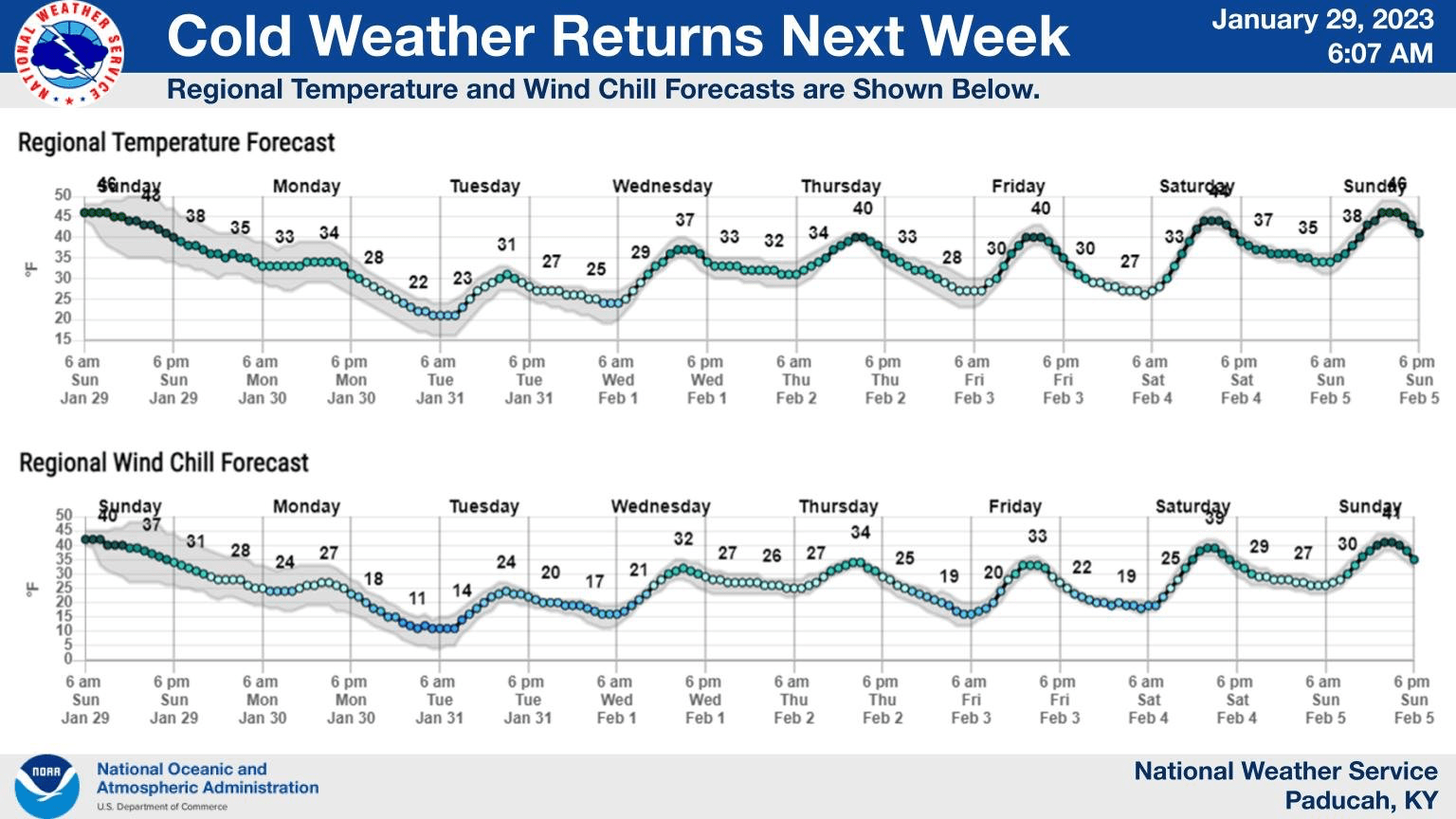
Daytime temperatures should reach to, or exceed, the freezing mark for most locations each day, so fewer wintry impacts are anticipated with any precipitation that may be falling then.
The Weather Edge will keep an eye on the latest forecast and be the first to let you know about any winter weather issues.