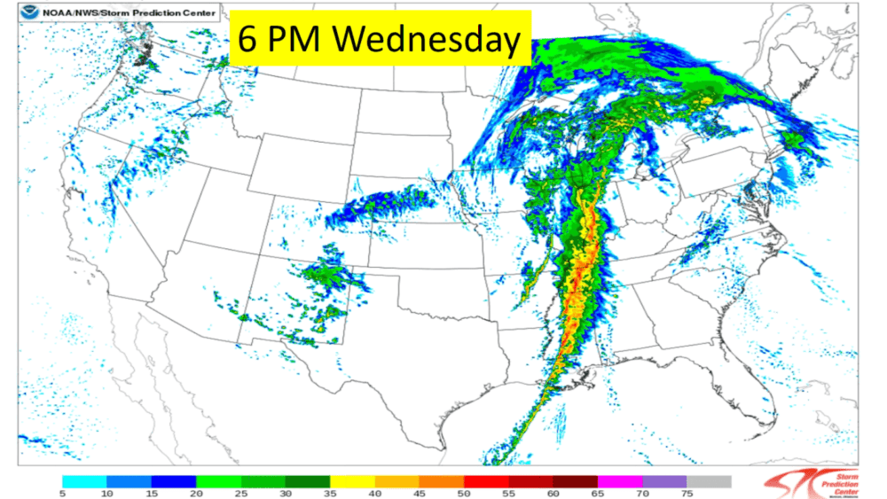
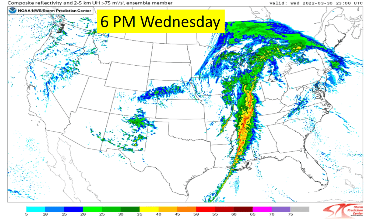
An enhanced risk of severe weather in western Kentucky Wednesday will bring heavy rain and a chance of uncommon wind gusts that could peak as high as 55 miles per hour.
David Humphrey, a lead forecaster with the National Weather Service in Paducah, said the storm prediction center has bumped the area of moderate risk of severe storms north into most of northwest Tennessee while most of western Kentucky remains in the enhanced level.
Humphrey said the fast-moving storm will make its way across the Mississippi River Wednesday afternoon.
click to download audioWind gusts associated with the storms could gust as high as 55 miles per hour with surface wind speeds reaching hazardous levels.
click to download audioHumphrey said Wednesday’s projected wind gusts are not normal.
click to download audioAs far as how Wednesday compares to the December 10th and 11th tornadoes that ravaged western Kentucky and caused millions of dollars in damage and dozens of fatalities, Humphrey said the wind signatures are different, which is good. However, they could still spawn an isolated tornado.
click to download audioThe National Weather Service has issued a Wind Advisory for Wednesday between 7 am and 7 pm.