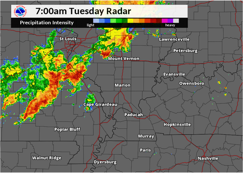
The National Weather Service in Paducah reported minor damage from several rounds of storms that pushed through the region Tuesday.
The first round of storms started triggering severe thunderstorm warnings north of the immediate area around 10:30 AM. Areas around Marion and Henderson, Kentucky reported initial wind gusts of up to 45 MPH.
At 11:00 AM a wind gust of 53 MPH was reported at the Kentucky Mesonet site in Hopkins County, and at 11:04 AM trained weather spotters in Trigg County reported that numerous trees were damaged when a 50 MPH wind gust occurred.
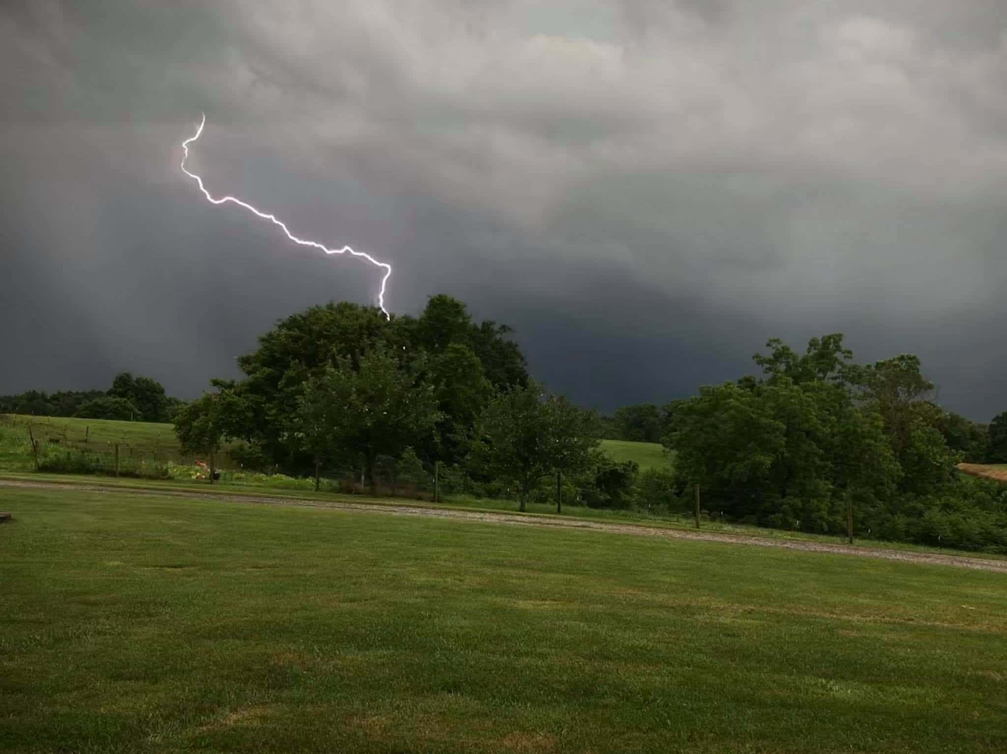
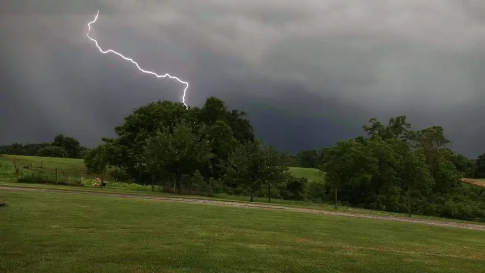
Storms Tuesday evening packed more of a punch to the immediate area.
A funnel cloud was reported near Bremen in Muhlenberg County around 7:17 PM by law enforcement and widespread tree damage and power lines were reported knocked down around 7:20. Numerous trees were even reported down on homes. The Paducah National Weather Service has confirmed that a microburst did occur in this area. Read more about it by clicking here.
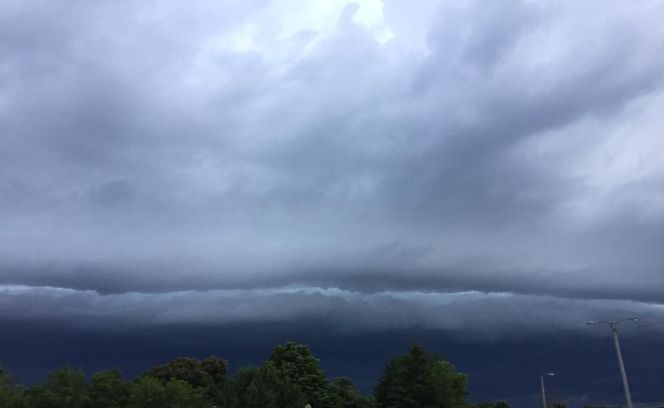
Warnings were issued as severe thunderstorms tracked across Trigg and Christian counties shortly after 7:30 PM. The storms caused some outdoor activities at the Western Kentucky State Fair to be canceled, and the fair to close down early. Elsewhere in Christian County, some trees were reported knocked down and numerous flooding issues were reported.
Storms in Calloway County caused a tree to fall on a moving vehicle on Airport Road, with one person reportedly injured.