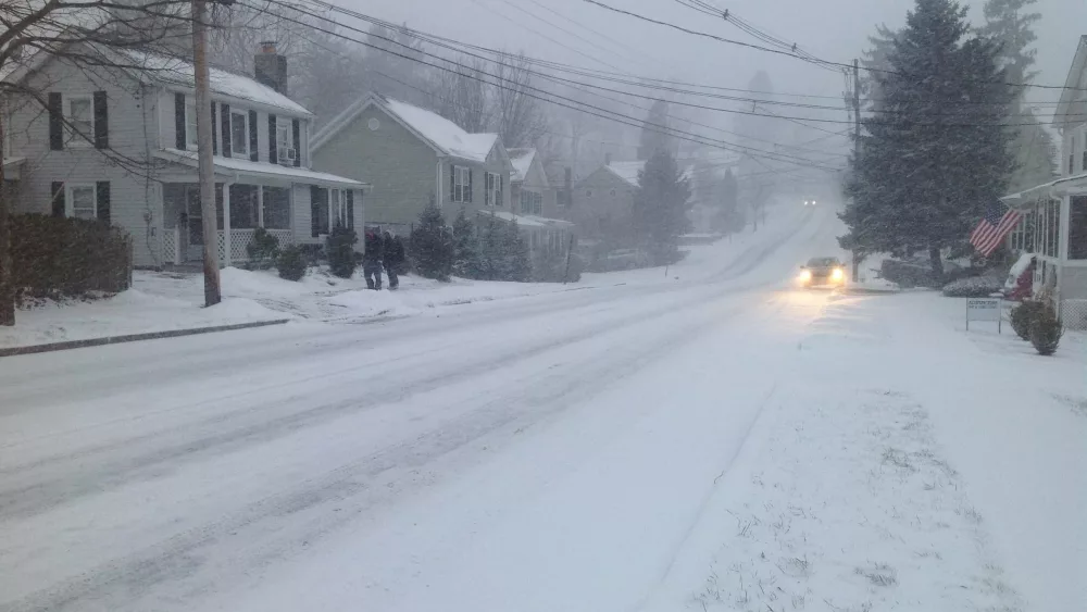
Whether you are singing about snow or hoping that summer would come back, winter storms are on the way in the not too distant future.
We are just starting to come out of an unusual warm spell where highs were near 70º over the Christmas holidays. The weird thing is that we had similar warmth last year during the same time period. Bowling Green, Ky. recorded a record high of 73º at the airport on Dec. 26th, 2015. Even with that warmth, we still ended up with a couple of serious snow events last winter. Our New Year’s Weekend continues to look wet as  the first of two systems moves in from the southwest.
It may be cold enough on Saturday (New Year’s Eve) Morning for a little snow or a wintry mix to start things off. But rising temperatures into the mid 40’s will quickly change everything to rain. It looks like Sunday will be fairly dry with a small chance for showers and highs climbing into the lower 50’s. On Monday, warmth builds back into the region as a cold front approaches. Highs will probably hit 60º with widespread rain and a few storms.
Once we get past that… look out. We may see a harsh winter pattern setting up across our region and for much of the country as the door to the Arctic opens up.  As that Arctic air arrives, it will collide head-on with a southeastern heat ridge I call the Bermuda High and try to push it into the Atlantic. Many times, a storm system will form along the Arctic front once it gets past our region and tracks to our south. That’s something to look for when highlighting potential winter weather events and storms across the Ohio and Tennessee Valleys. I’m not saying that will happen in this case but it is a good possibility.
This would be sometime around January 4th through the 6th. Overall, the pattern going into January is featuring what we call a "blocking pattern" setup. The trend in this type of pattern is for the cold air to drop more south. We shall see how this evolves. Storms in the polar and subtropical jet streams could also help weaken the Polar Vortex and may cause a piece to break off which would drive frigid air southward. At any rate, the developing pattern looks to put much of the country into the deep freeze. While there will be several opportunities for little disturbances to bring rain and/or snow chances to our region, I will mention some of the more notable ones that are starting to show up.
Bear in mind, nothing is in concrete. I can tell when a storm is coming sometimes weeks ahead of time. But, in winter, it is really hard to nail down the type of precipitation. One storm that shows up in the models will come around the 10th through the 12th. This one looks to start out warm with storms and maybe even some severe weather. But once it passes, there may be a little snow. A bigger, winter like storm shows up around the 15th through the 17th. Following that, a stronger east Asian jet will favor another attack on the stratosphere and cause sudden stratospheric warming which, in turn, would cause another weakening of the polar vortex in mid to late January, but any impacts on North American temperatures wouldn’t occur until at least late January or February. When the polar vortex is weakened, a piece of it can surge farther south, bringing frigid arctic cold into portions of North America and Europe. 
As it stands now, the first two weeks of February look cold and snowy with notable storms around February 2nd and another around the 8th through the 10th. So, if you are a snow lover, I believe the remaining winter months will satisfy your taste. There certainly are few things that can match the beauty of snow falling across the landscape.
Here is one more interesting thing I have discovered about snow. Contrary to popular belief, in 1988, a scientist at the National Center for Atmospheric Research (NCAR) found two identical snow crystals. Similar results have been produced in laboratories. Did we really think that of the infinite amount of snow produced around the world each year, no two flakes are identical? That seems improbable. I just thought that was interesting. Feel free to leave comments and be sure to hit the “Like” button at the bottom of this post.