We are now in December and the weather is about to take a big turn. The Christmas season is upon us and many folks are asking about the snow possibilities. I can tell you that there are several possibilities of seeing snow over the next few weeks.
But, as usual, the devil is in the details. My confidence is high concerning trends for a much colder than normal December setting up for our region. But snow predictions are much more difficult to nail down. So here is my best thoughts on when and where the snow may occur over the next few weeks. Just remember, this is subject to change.
You have to consider the temperatures, the track of storm systems, the timing of those systems, the list goes on. So there are a lot of moving parts when it comes to coming up with an accurate outlook.  As I said, changes are coming. Actually, they have already started. Current temperatures at the time of this writing are colder than a few days ago. But things are going to get much colder. Our first storm system to affect us will be Saturday night into Sunday when a little sleet or snow may mix in with rain. It may even briefly change to all snow in some areas. But this won’t amount to much and is nothing to be concerned about.
Then, a second more potent storm will affect us late Monday and Tuesday with a round of potentially heavy rain. Our attention then turns to the next storm on Wednesday and Thursday, Dec. 7th and 8th. This looks like a much more powerful storm system than what we have seen in a good while. You may remember in recent posts, I told you the coldest air was on the other side of the globe in Siberia and that a cross polar flow would have to develop to get that air to our side of the globe and then down to us. I believe that is exactly what is about to take place. A buckle in the Jet Stream will force cold air from Siberia to cross over the North Pole region and spill down into the United States, including our region. So, on Wednesday the 7th, we should start seeing rain and storms break out as temperatures warm just a bit. Then, as an Arctic cold front approaches, a deep trough or low pressure system will develop somewhere along the front.
Exactly where that low develops and exactly where the low tracks will determine what the precipitation type will be and who will get it. Right now, the models are all over the place with this and it’s just impossible to nail down any details. Over the next several days, modeling is going to spit out a wide array of solutions. You will also be hearing and seeing all kinds of ideas from all kinds of amateur weather enthusiasts that claim to have the scoop on what is going to happen. Consider the source and don’t buy into it. But there are a few credible sources out there. As I said, consider the source. I promise that I will let you know if there will be a “Milk and Bread” alert.
We should start to get a better idea on what will take place as we get closer to this event. I will say that temperatures will drop rapidly on Thursday the 8th. Then, we will deal with another storm that will be brewing around Sunday Dec. 11th. Right now this looks like a rain to snow setup. But the way it develops will be impacted by the way the storm on the 7th and 8th takes shape.
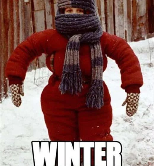
Yet another storm will be waiting in the wings around the 14th or 15th. So there is a lot going on and the pattern will get pretty wild. I can hear a lot of you asking about a white Christmas. Obviously there is no way I can say for sure this far out. But I will say that it looks to me like our chances are better this year than usual. In the meantime, do what you need to do to prepare for much colder weather. Winter is coming! Feel free to leave comments and be sure to hit the “Like” button at the bottom of this post.